Lake Effect Snow: How It Forms and Why It Impacts Winter Travel
Winter weather near the Great Lakes does not behave the same way as in the rest of the country. Towns and cities along these lakes see fast-forming snow bands, sudden drops in visibility, and sharp differences in accumulation from one neighborhood to the next. People who live in these corridors understand that a routine morning can shift into a difficult commute within minutes. The pattern behind these fast changes is known as lake effect snow, a term used when cold air moves across open lake water and gains moisture.
This guide explains how the process works, why specific regions receive more intense snowfall, how warnings and advisories function, and why school districts face unique challenges during strong events. It also highlights regional characteristics in New York, Ohio, Pennsylvania, and Michigan, where Great Lakes snowfall shapes travel, planning, and safety choices throughout winter.
The goal is to help you understand not only how this pattern forms but also how to read forecasts, maps, and alerts that appear during active periods.
What Is Lake Effect Snow?
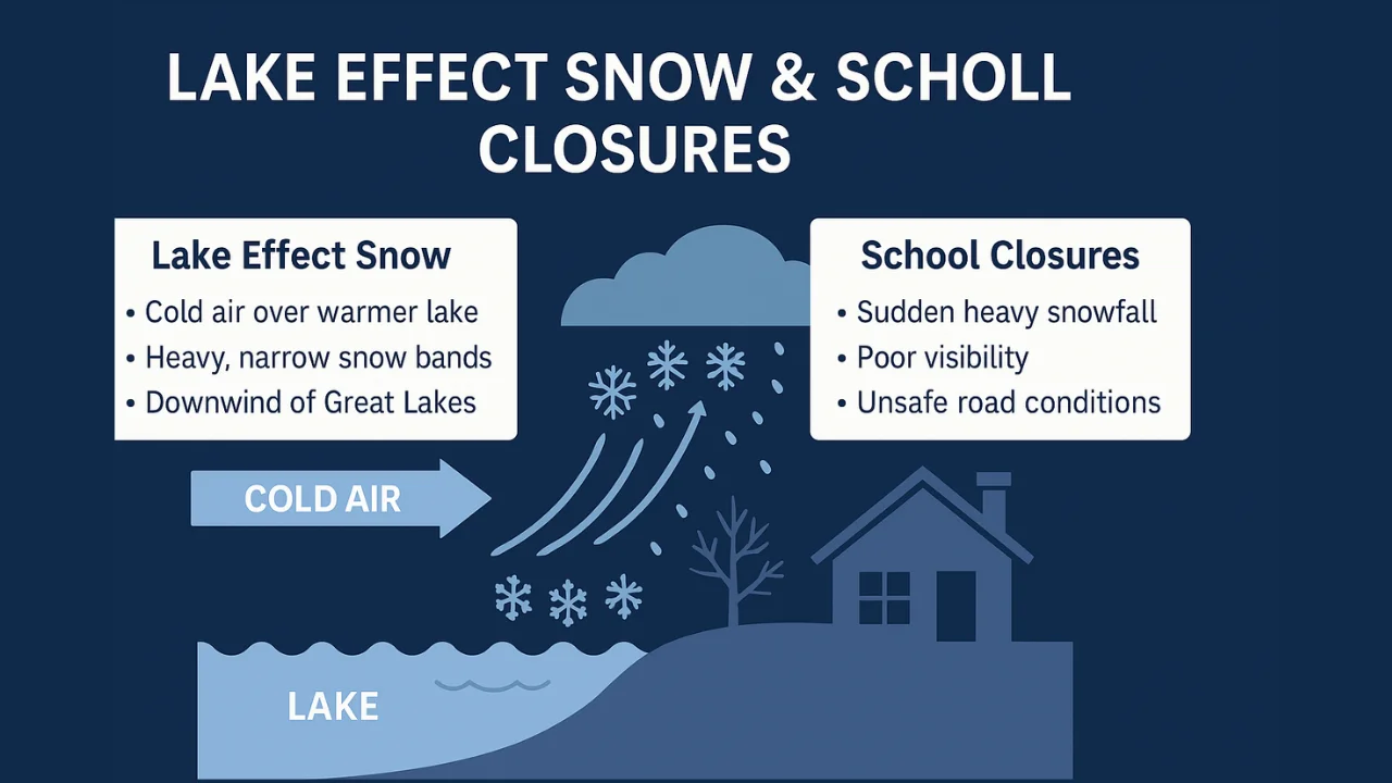
Lake effect snow forms when cold air moves across relatively warm lake water. The cold air picks up heat and moisture from the lake surface. As that air rises and cools again, snow clouds form. When the wind pushes those clouds over land, the moisture falls as narrow bands of heavy snow.
This is the core process behind it. The setup seems simple, but the outcome varies widely from place to place. Slight shifts in wind direction can change the entire impact zone.
It often appears on radar as long, narrow streaks parallel to the wind direction. These streaks show where snowfall rates may jump fast within minutes.s 30.
Why Lake Effect Snow Is Different From Regular Snow
A typical winter storm forms within a larger weather system. Meteorologists can track that system days in advance. Its path and timing are easier to follow, and snowfall amounts usually spread across wide regions.
This lake-driven pattern works differently. Wind crossing open water creates narrow bands. These bands can stall or shift with little notice. One side of a city may receive more than a foot of snow, while another side sees only flurries. This uneven distribution causes challenges for road crews, schools, and residents.
Many communities near the Great Lakes have developed strong plowing systems, but fast-building bands can overwhelm even experienced crews. Visibility often becomes the main issue because heavy snow can arrive suddenly and limit travel.
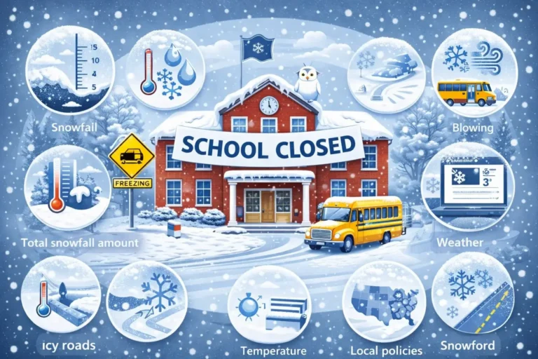
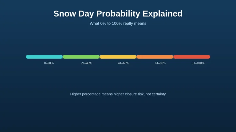
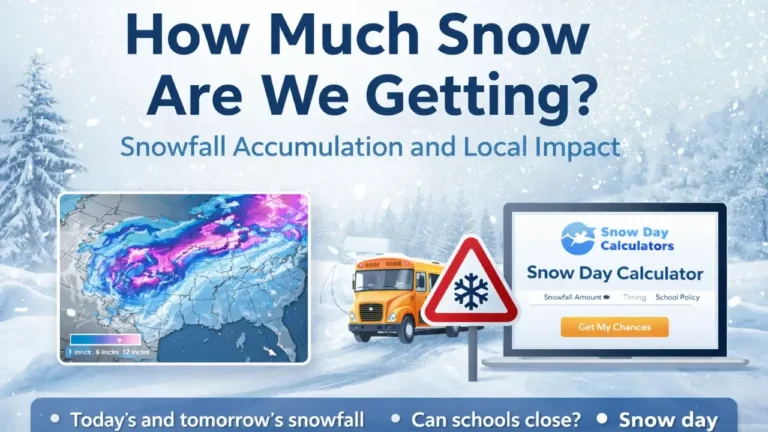
If you want a real-time estimate of how winter conditions may affect closures in your area, you can use our Snow day calculator tool.
How Ideal Conditions for Lake Effect Snow
Several ingredients must come together before this snowfall can form.
- Cold air arriving from Canada or the Arctic region.
- Open water that remains warmer than the incoming air.
- Stable winds that blow across a long distance of the lake.
- Atmospheric lift that helps moisture rise into clouds.
- Adequate moisture from the lake surface.
When these align, the snowfall can strengthen quickly. The difference between lake temperature and incoming air often determines how powerful the snow bands become. The larger the difference, the more moisture enters the air.nsify quickly.
Where Lake Effect Snow Happens Most Often
The heaviest snowfall forms downwind from the Great Lakes. While many states see occasional lake-driven snow, several locations face it multiple times each winter.
Key regions include:
- Western and central New York
- Northwestern Pennsylvania
- Northeastern Ohio
- Western Michigan
- Northern Indiana
- Upper Michigan
These areas sit downwind of major lakes that remain warmer well into the early winter season. They receive consistent moisture that builds strong snow bands.cross the water, the wind brings moisture toward these states and creates strong snow bands.
How Different Lakes Produce Different Snowfall Patterns
Lake Erie
Lake Erie is shallow, so it cools and freezes earlier than the other Great Lakes. Before it freezes, it can produce very intense snow bursts. Buffalo often experiences the strongest events because common wind patterns push moisture across the lake and into the city. Neighborhoods south of the city, including Orchard Park and Hamburg, often see the highest totals.
Lake Ontario
This lake produces long-lasting bands because winds often travel across its full length. Syracuse and Oswego receive some of the nation’s highest annual snowfall totals as a result.
Lake Michigan
Western Michigan communities such as Grand Rapids and Muskegon experience frequent bursts of heavy snow. Northern Indiana, including South Bend, also receives significant accumulation because of the lake’s orientation.
Lake Superior
This region sees some of the deepest snow in the Upper Peninsula of Michigan. Winds flowing across Lake Superior can produce long-duration events.
Why Buffalo and Western New York See Such Intense Snowfall
Buffalo’s location aligns with the direction of cold wind that often crosses Lake Erie. When the wind remains stable, a single snow band can hover over the city or its southern suburbs for hours. These long stretches produce rapid accumulation, blocked roads, and low visibility.
Events in this area have created national attention, including storms that dropped several feet of snow. Local crews manage these events with strong equipment, but the speed and volume of snow can still overwhelm plow routes.
Cities like Orchard Park, Hamburg, West Seneca, and the broader Southtowns often experience even higher totals because snow bands may stall over these areas for hours.
Lake Effect Snow in Syracuse and Rochester
Syracuse and Rochester sit downwind of Lake Ontario. They regularly face long, narrow bands that bring strong bursts of accumulation. Even with advanced preparation, fast-moving bands can disrupt morning travel.
These cities often rank among the snowiest in the country. Their experience handling this weather helps keep closures limited, but strong events still cause interruptions.
Ohio and Pennsylvania Snow Belts
Eastern sections of Ohio and western Pennsylvania sit downwind of Lake Erie. Cleveland, Ashtabula County, and Erie, Pennsylvania often experience storms that build overnight and continue into early morning. These areas also face low visibility and fast drifts along open fields.
Travel during these events becomes difficult, and schools often respond when conditions worsen during the morning window.e snow bands form overnight and move inland by sunrise. Erie, Pennsylvania often records some of the highest lake effect totals because the shoreline area faces the strongest moisture flow.
Lake Effect Snow in Michigan and Northern Indiana
Communities near Lake Michigan see frequent winter bursts because the lake does not freeze early. Cold air arriving from the west or northwest can create sharp snow bands. Northern parts of the state receive even more accumulation when winds travel across Lake Superior.
Areas such as Marquette experience long events that may last for several days.
How to Read a Lake Effect Snow Map
A snow band map shows where the heaviest activity is located. These maps often highlight narrow streaks that reveal where snow is falling at a high rate.
A band may appear bright because radar detects rapid moisture movement.
Maps help residents prepare for shifts. A band that appears stationary may continue dropping snow over the same area for hours. If the wind shifts, the band may move and affect a new region.
Understanding these maps helps people anticipate travel issues and time-sensitive decisions.
How Forecasters Predict These Events
Forecasting this weather depends on several elements:
- Wind speed
- Wind direction
- Lake temperature
- Moisture availability
- Temperature contrast
- Air pressure patterns
Meteorologists study whether winds will stay aligned across a lake or shift. Persistent winds signal a stable band, while shifting winds cause scattered bursts.
Forecasts provide ranges rather than precise numbers because small variations change results. Residents should watch hourly updates rather than rely on a single early forecast.ever, they still help schools, commuters, and road crews plan for high-impact periods.
Lake Effect Snow Meaning in Weather Alerts
The National Weather Service issues several types of winter alerts relevant to this pattern:
Advisory
An advisory signals moderate snowfall that may create slippery roads. Travel may slow, but conditions are not expected to become severe.
Warning
A warning indicates heavy accumulation or dangerous visibility. Warnings often precede strong events and help communities prepare for hazardous travel.
Winter Storm Watch
This alert means conditions may become serious, though forecasts are not confirmed. A watch often includes the potential for lake-driven snowfall.
Winter Weather Advisory
This advisory covers lighter events that still require caution.
Residents near the Great Lakes should monitor these alerts because conditions change fast.
How Schools Respond to This Pattern
Lake effect snow often disrupts schools because conditions change fast. The biggest issues are:
Timing
Bands often intensify between early morning hours. Schools must decide before buses leave garages. If conditions worsen rapidly, districts may cancel school even if the night before looked manageable.
Road Safety
Narrow roads, hills, and side streets become difficult to clear when snow falls fast. Visibility drops can also make bus travel unsafe.
Uneven Impact
One bus route may be covered in snow, while another may be clear. Districts must consider the entire transportation area, not just the main roads.
Cold and Wind
Wind chills can reach dangerous levels when lake effect snow combines with strong winds. Districts often consider wind chill when making closure decisions.
Why Lake Effect Snow Causes More School Closures in Some Cities
Cities used to heavy lake effect snow may stay open longer. For example, Syracuse may continue operating during events that would close schools elsewhere. However, prolonged or intense bands may still bring closures.
Buffalo and nearby towns often experience closures because snow bands can drop several feet in a short time. Road crews cannot clear streets fast enough, and visibility becomes too poor for buses.
Ohio and Pennsylvania also see closures when bands remain strong during morning hours. Some rural routes become unsafe because they run through open fields where blowing snow hides the road surface.
How Long These Events Can Last
These events can last from a few hours to several days. The duration depends on:
- Temperature difference between air and lake
- Whether the lake has frozen
- Wind stability
- Moisture levels
- Any incoming storm systems
When lakes freeze, the pattern weakens. Until then, strong winds can continue to feed moisture into the atmosphere.
Events that stall over a single region produce the highest totals.
What Causes Lake Effect Snow to Stop
Several factors may stop the snowfall:
- The lake freezes and stops releasing moisture
- Wind direction changes
- Other storms interrupt air flow
- The atmosphere warms
- Moisture levels drop
Forecast discussions often highlight these as signals that conditions will ease.ent.
Lake Effect Snow and Whiteout Conditions
Whiteouts are common during lake effect snow events. Snowfall rates combine with blowing wind to limit visibility. Commercial flights often experience delays because pilots cannot land safely during whiteouts.
Drivers should avoid travel during strong bands because visibility may drop within seconds. This is why warnings often focus on visibility, not only on snowfall totals.
Travel Safety During Heavy Events
Drivers face sudden challenges when traveling through snow bands. Conditions may shift within minutes.
The safest approach is:
- Slower speeds
- Extra braking distance
- Avoiding rural routes during drifts
- Watching for whiteouts
- Checking updated forecasts
Highways along the Great Lakes often experience speed restrictions during strong events. Local authorities may close certain roads until visibility improves.
Lake Effect Snow and School Closure Patterns
Districts consider several factors:
- Current snowfall rates
- Predicted totals
- Visibility
- Road treatment progress
- Availability of buses
- Safety of pickup and drop-off locations
It often increases closure likelihood when bands set up overnight. Schools prefer predictable conditions, but lake effect snow does not allow predictable planning.
Climate Influence on This Pattern
Lake water remains warmer for longer periods in some seasons. This warmth allows stronger events to form early in winter. Later, when lakes freeze, snow output decreases.
Researchers watch lake temperature trends because warmer water may produce more early-season snowfall.
FAQ for “Lake Effect Snow
Final Thoughts
Lake effect snow is one of the most dramatic winter weather patterns in the United States. It brings sudden, intense snowfall and challenging road conditions—often leading to school delays or closures. Understanding how it forms and how districts respond can help you better predict when a snow day is likely.
Regions near the Great Lakes experience this more than anywhere else, and schools must be ready to react quickly. Whether you’re a student hoping for a break or a parent planning ahead, keeping an eye on lake effect forecasts and using a reliable snow day calculator can make winter mornings much easier.

